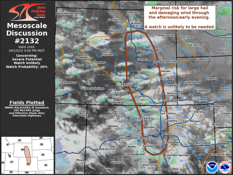
NWS Storm Prediction Center Norman OK
0624 PM CDT Tue Aug 25 2026
AREAS AFFECTED...portions of eastern Colorado into far western
Kansas
CONCERNING...Severe potential...Watch possible
VALID 252324Z - 260100Z
PROBABILITY OF WATCH ISSUANCE...40 percent
SUMMARY...Some threat exists for severe wind and hail with ongoing
storms. Convective trends are being monitored for the need of a WW
issuance.
DISCUSSION...Multiple multicells/supercells have matured over
eastern CO over the past few hours as upslope flow of a moistened
and heated airmass has encouraged relatively robust but sparse
convective initiation. These storms are benefiting from ....... more