Southern Indiana Weather Spotter's Reference
Current Mesoscale Discussions for the USA

Checks for Severe Potential, Heavy Rain, Heavy Snow, and Freezing Rain
Note: This page will reload every 2 minutes. Mesoscale Discussions are listed in the order issued.
Click on the MORE link below to view further details of the SPC Mesoscale Discussions.


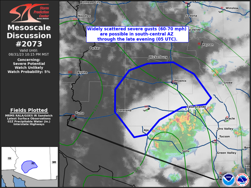
(click image for details)
MESOSCALE DISCUSSION 2073
NWS Storm Prediction Center Norman OK
0438 PM CDT Fri Aug 21 2026

AREAS AFFECTED...Parts of southwest South Dakota and western
Nebraska

CONCERNING...Severe potential...Watch possible

VALID 212138Z - 220015Z

PROBABILITY OF WATCH ISSUANCE...60 percent

SUMMARY
...The area is being monitored for an increase in
severe-thunderstorm potential. The primary concerns are large hail
and SEVERE WIND GUSTS. A watch issuance is possible.

DISCUSSION...Isolated thunderstorms are evolving along a
SE/NW-oriented confluence axis extending from parts of northwest NE
toward the Black Hills. This activity is potentially being aided by
a subtle midlevel
....... more
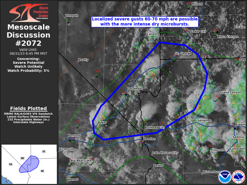

(click image for details)
MESOSCALE DISCUSSION 2072
NWS Storm Prediction Center Norman OK
0335 PM CDT Fri Aug 21 2026

AREAS AFFECTED...north-central and northeast Nevada...northwest
Utah...far southeast Oregon...and southern Idaho.

CONCERNING...Severe potential...Watch unlikely

VALID 212035Z - 212300Z

PROBABILITY OF WATCH ISSUANCE...5 percent

SUMMARY
...The threat for a few SEVERE WIND GUSTS up to 70-80 mph is
expected to increase by mid to late afternoon. A watch is not
expected due to the isolated nature of the threat.

DISCUSSION...Subtle mid-level disturbances embedded in a moist,
southerly flow regime are contributing to a gradual increase in
thunderstorms this afternoon across
....... more