NWS Storm Prediction Center Norman OK
0618 PM CDT Wed Mar 11 2026
AREAS AFFECTED...parts of southeastern Louisiana and
Mississippi...southwestern Alabama
CONCERNING...Severe potential...Watch likely
VALID 112318Z - 120115Z
PROBABILITY OF WATCH ISSUANCE...80 percent
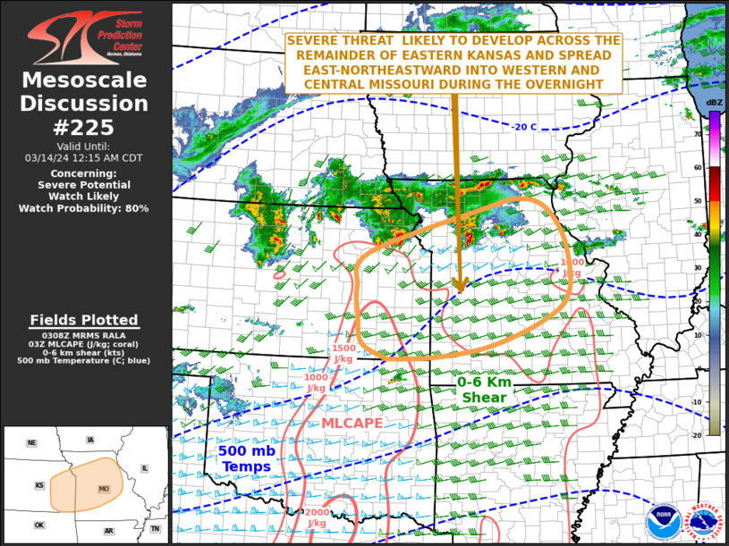
SUMMARY...A cluster of thunderstorms may continue to slowly
intensify and organize while advancing east of the lower Mississippi
Valley through 7-10 CDT, preceded by at least a couple of developing
supercells. It appears that this may be accompanied by increasing
potential for DAMAGING WIND GUSTS and A FEW TORNADOES.
DISCUSSION...Thunderstorm activity has been slowly ....... more
