NWS Storm Prediction Center Norman OK
1141 AM CDT Wed May 13 2026
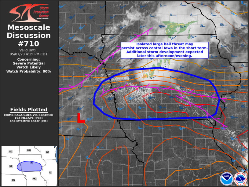
AREAS AFFECTED...southwest PA...southeast OH...and parts of WV
CONCERNING...Severe potential...Watch unlikely
VALID 131641Z - 131915Z
PROBABILITY OF WATCH ISSUANCE...20 percent
SUMMARY...Isolated STRONG WIND GUSTS and hail are possible this
afternoon. A severe thunderstorm watch is unlikely at this time.
DISCUSSION...Thunderstorms are developing near and just ahead of a
surface cold front from far western NY into eastern OH. Pockets of
stronger heating have occurred ahead of this activity across
southwest PA into OH and parts of WV where some clearing has
occurred in ....... more
