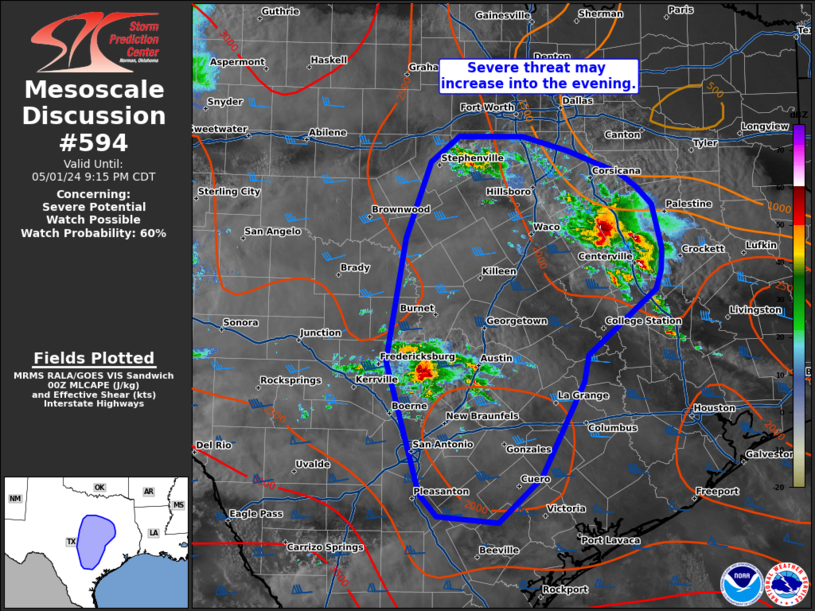
NWS Storm Prediction Center Norman OK
0712 PM CDT Wed May 01 2024
AREAS AFFECTED...portions of central Texas
CONCERNING...Severe potential...Watch possible
VALID 020012Z - 020215Z
PROBABILITY OF WATCH ISSUANCE...60 percent
SUMMARY...Severe threat may increase into the evening.
DISCUSSION...Widely scattered thunderstorm development is expected
to continue into the evening, with some uncertainty in the coverage
of severe potential. Guidance indicates a southern branch of a
southerly low-level jet will increase over the next few hours. This
may aid in more organized convection, with potential for upscale
growth. Thus far, the threat has ....... more