|
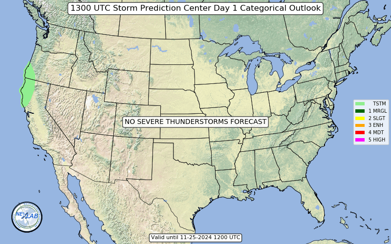
Slight Risk of Severe Weather (1200Z - 1200Z)
|
|---|
|
| Widely scattered severe storms are possible Tuesday afternoon into Tuesday night from northeast Texas into western Tennessee, with the main threat centered over Arkansas. The strongest storms will be capable of large hail , damaging winds, and a few tornadoes . More isolated, strong to severe storms are possible across parts of the Northeast.....more..... |