|
Slight Risk of Severe Weather (1200Z - 1200Z)
|
|---|
|
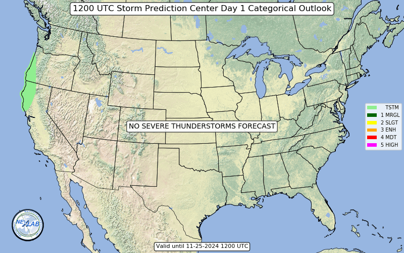
| Severe thunderstorms with hail, damaging gusts and a tornado or two are possible across portions of New Mexico and southern Colorado today into tonight. An elongated western US trough will drift eastward today as the primary vort max is forecast to lift northeastward across the Great Basin into the northern Rockies through tonight. A secondary shortwave perturbation will round the base of the trough and approach coastal southern CA. Despite the fragmented nature of the upper trough, mid-level meridional flow will remain fairly strong from portions of northern Mexico to the Canadian border. Ascent associated with both perturbations and the strong flow crossing the higher terrain will aid in developing a lee cyclone across eastern MT. A trailing lee trough will connect to a second, much weaker, cyclone over southern NM and northern Senora. This will support modest northward return of unseasonably robust moisture, and subsequent destabilization across NM and the southern High Plains favorable for strong to severe storms.....more..... |