|
| The Southern Indiana Weather Spotter's Reference |
|
Serving the Tri-State with LIVE Radar & Weather Updates |

|
|
| |
Forecast: |
|
|
 FORECAST FOR THE EVANSVILLE, INDIANA AREA...... FORECAST FOR THE EVANSVILLE, INDIANA AREA......
|
|
|
|
|
| Dubois County 2024 Total Solar Eclipse Event |
 |
|
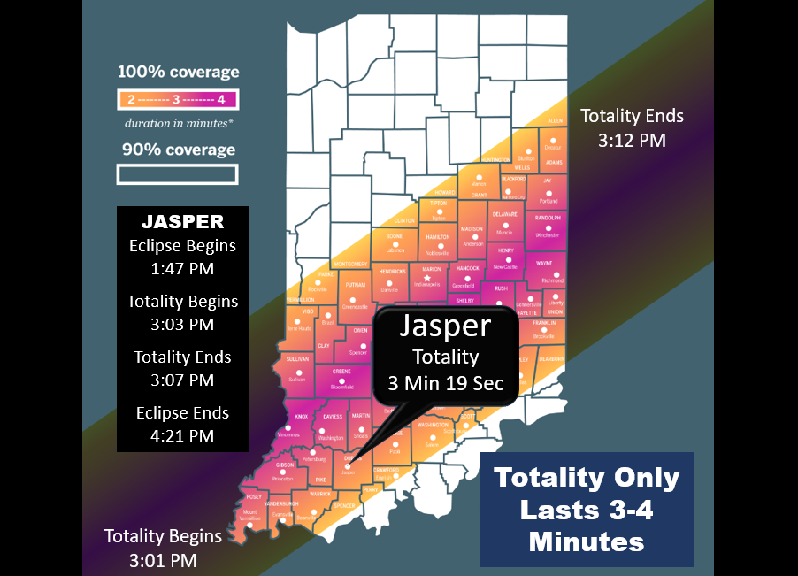
On April 8, 2024, a total solar eclipse will plunge much of Indiana into momentary darkness.
Hoosier communities and public safety partners have planned
for the influx of hundreds of thousands of visitors to the state to view this event. While the related
festivals, activities, and community events are underway,
the Indiana Department of Homeland Security, Emergency Management Agencies, and
public safety agencies will be closely monitoring developments to insure critical infrastructure
and community lifelines are not interrupted. This web page provides links to key resources to
assist in the monitoring process.
|
| Indiana Traffic Flow |
|
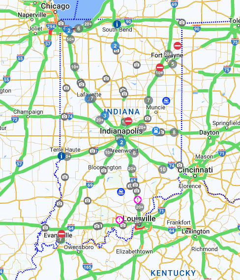
Indiana TrafficWise
provides a LIVE map showing current traffic flow around the State of Indiana, based on
INDOT traffic sensors.
It indicates
whether traffic is flowing normally, or, whether there are any slowdowns. It also indicates whether
there are any incidents such as accidents or road closures that impact traffic flow. Traffic web cams
are also provide a vew of LIVE traffic flow around the state. You may want to
keep this web page up, particluarly immediately after the total solar eclipse, the see whether
traffic is impacted while the huge influx of visitors begins to leave the State of Indiana.
Note: Make sure you click the Traffic Speeds option listed under Layers!
|
| Dubois County Traffic Flow |
|
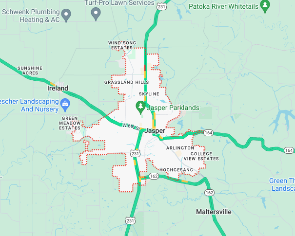
Google Traffic Maps
provides a map covering Dubois County that shows a LIVE view of traffic indicating whether traffic is
flowing smoothly or whether there are any slowdowns. Traffic is tracked based on
real-time positional updates from user's cell phones that use Google Maps and other phone applications
that rely on Google’s data. This information is independent from what INDOT uses in their state-level map.
|
| Cellular & Internet Service Monitoring |

|
DownDetector
provides LIVE updates if the services provided by cellular, internet, and other providers
is interrupted. A plot of service interruptions over the past 24 hours is provided, along with
maps showing were the outages are occurring.
|
| Indiana Live Satellite Viewer |
|
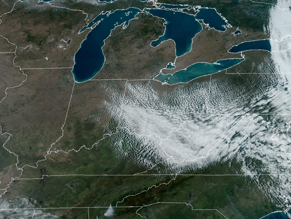
The GOES East Satellite
viewer provides a LIVE satellite view of the State of Indiana
showing whether or not clouds are present or moving into the area
chosen to view the 2024 Total Solar Eclipse.
Have a great time at this
once in a lifetime event!!!!
|
|
|
